Pilotless Drone Networks
FlightOps INSPECT
FlightOps Inspect is an autonomous drone-based inspection platform that automates data collection, identifies issues with AI, and delivers actionable insights. It continuously surveys assets and infrastructure, detects anomalies or defects in real time, and integrates with existing maintenance and asset-management systems. By reducing manual site visits, accelerating inspection cycles, and providing continuous, high-resolution visibility, Inspect enables scalable, repeatable inspections for large, distributed, or hard-to-reach facilities.


Supported systems
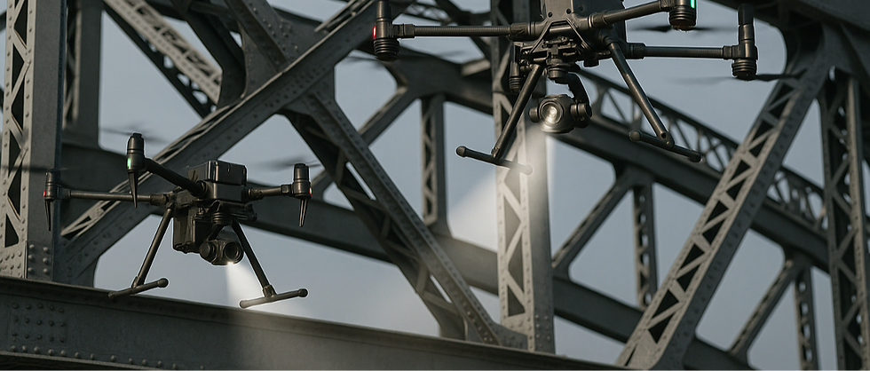
DJI Docks

multiple simultaneous DJI Dock 2 and Dock 3
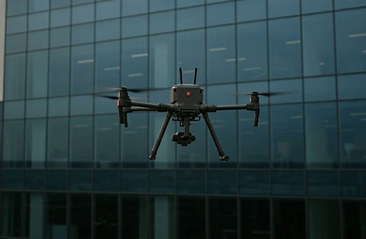
DJI Enterprize
DJI Enterprize drones via 5G communications
Custom Systems
Integration to custom systems and payloads

01
Centralized Missions Control
FlightOps Inspect unifies automated drone inspections under one mission control interface, enabling teams to schedule, execute, and monitor flights remotely without on-site pilots. This centralized workflow reduces operational complexity, improves data consistency, and transforms inspections into a scalable, repeatable process.
02
Single Data Pipeline
FlightOps Inspect channels all inspection data—imagery, telemetry, and analysis—into one unified pipeline. This eliminates manual transfers and scattered files, ensuring data flows consistently from collection to insight. With a single source of truth, organizations can accelerate decisions, maintain quality, and easily integrate results into existing systems.

03

Integrated AI
FlightOps Inspect combines its native AI with integrated third-party analytics, enabling automated mission execution, anomaly detection, and intelligent data tagging while adding domain-specific insights like structural defects or thermal anomalies. This hybrid model delivers best-in-class intelligence without vendor lock-in, ensuring each inspection benefits from the ideal mix of FlightOps autonomy and specialized analysis.
04
Poligon Scan Mission
FlightOps converts any drawn polygon into an optimized, camera-aware flight path that ensures proper distance and image overlap. The system supports multi-drone and multi-sortie execution, dividing large areas into coordinated segments for faster, consistent data collection with minimal operator effort.

05
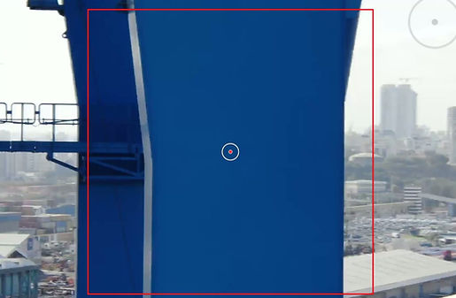
Facade Scan Mission
FlightOps automates facade scanning by using the camera’s parameters to calculate optimal distance, angle, and image overlap. The system generates a precise vertical flight pattern and adjusts positioning in real time to ensure consistent coverage, producing high-quality, analysis-ready imagery without manual piloting.
06
Circular Scanning
Circular Scanning enables the drone to orbit an asset at a fixed radius, altitude, and angle, capturing continuous imagery or sensor readings from all sides. FlightOps automatically calculates the optimal path based on camera parameters and desired overlap, ensuring uniform coverage around structures such as tanks, silos, towers, and antennas. This provides a complete 360° dataset without manual piloting or repositioning.

07
Patrol Scan
A Patrol Scan mission guides the drone along a predefined route while automatically inspecting multiple complex elements such as gates, equipment areas, or perimeter sections. FlightOps manages routing, sensing, and camera targeting, enabling consistent, repeatable checks without on-site piloting.